

Here is everything you need to know for a smooth visit.
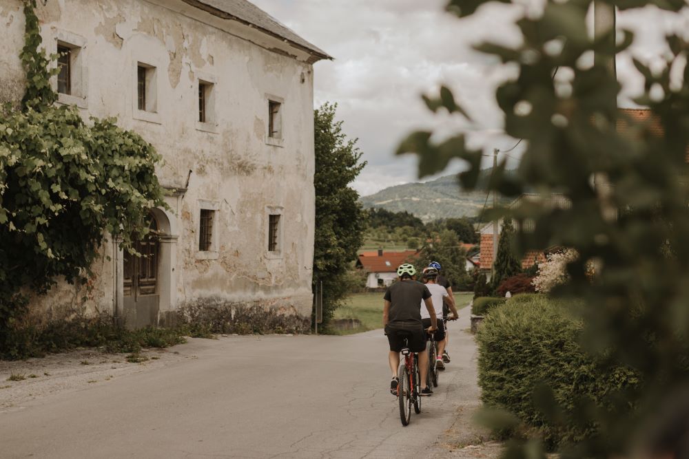
The route takes you from the Sustainable Mobility Centre through Postojna towards the trail to Mladika Hut. After crossing both the railway line and the motorway, you will follow a section running alongside the motorway towards the north. At the sign marking the end of the Municipality of Postojna, turn left across the motorway and continue onto a gravel road leading to the Unec Collapse Valley. A descent brings you to the Planina Polje and onwards to the village of Planina, where the first and longest climb of the route begins. The ascent takes you to Lohača, and later on the route continues across varied terrain through the villages of Strmca, Studeno, Belsko, Bukovje, and Predjama.
From here, the route follows a gravel road before joining a paved road towards Landol and Šmihel pod Nanosom. Along the way, you will pass the statue of Jacob the Shepherd, the local hero who defeated a mighty dragon. In Šmihel, another gentler gravel climb follows, ending with an easy ride towards the village of Strane.
The route then continues across diverse terrain through Malo Ubeljsko, Veliko Ubeljsko, and Razdrto before climbing once more past the quarry in Laže. A longer forest section follows, leading into a descent towards Slavina. The final stretch is mostly flat, passing through the villages of Koče, Prestranek, Grobišče, and Zalog before returning to the starting point.
Practical info
Several parking spaces are available in front of the Sustainable Mobility Centre, along with an electric vehicle charging station and a motorhome stopover area. During opening hours, the Centre also provides basic bicycle repair services.
The trail passes through numerous villages where you can grab a bite to eat, take a break, and discover interesting local sights along the way.