
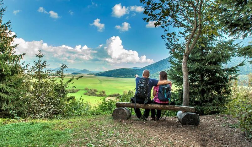
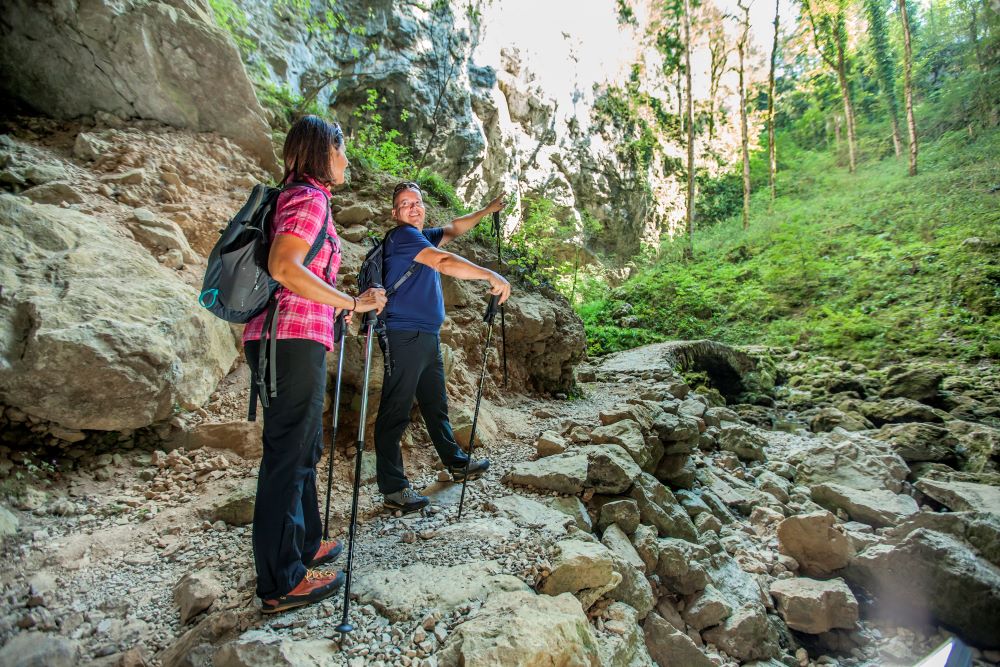

Become part of our story and create your own legend in the Postojna region.
Share it with us using #MyWonderfulMoment.
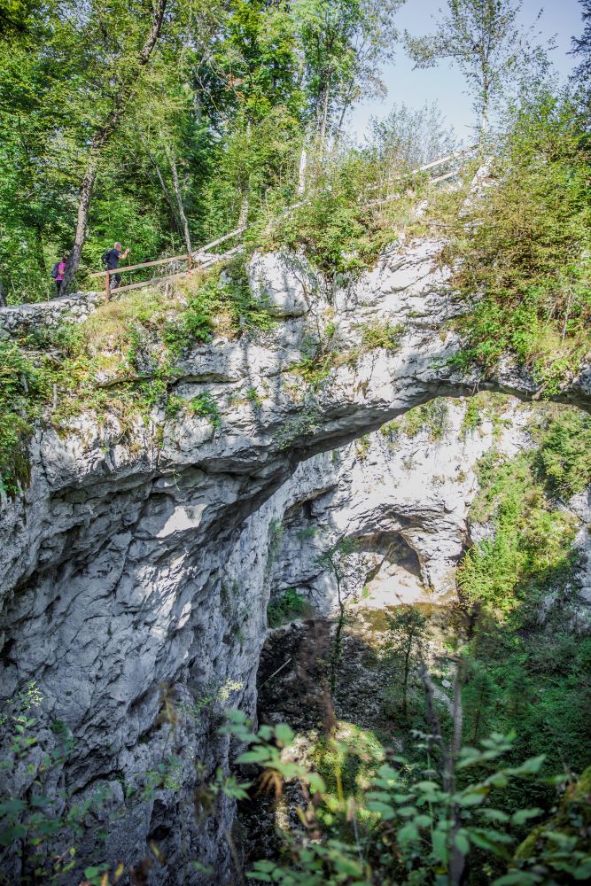
Along the trail, you’ll discover places shaped by both distant and more recent history, as well as richly decorated churches, cultural monuments, castle ruins, and preserved manor houses. You’ll also encounter a variety of karst phenomena, including springs and swallow holes, a disappearing lake, caves, collapse dolines, and unique karst ecosystems.
Recreational hikers can complete the entire route in three days, although it can just as easily be divided into several shorter stages. The trail is also suitable for cyclists and horse riders, and most sections are accessible by other means of transport as well.
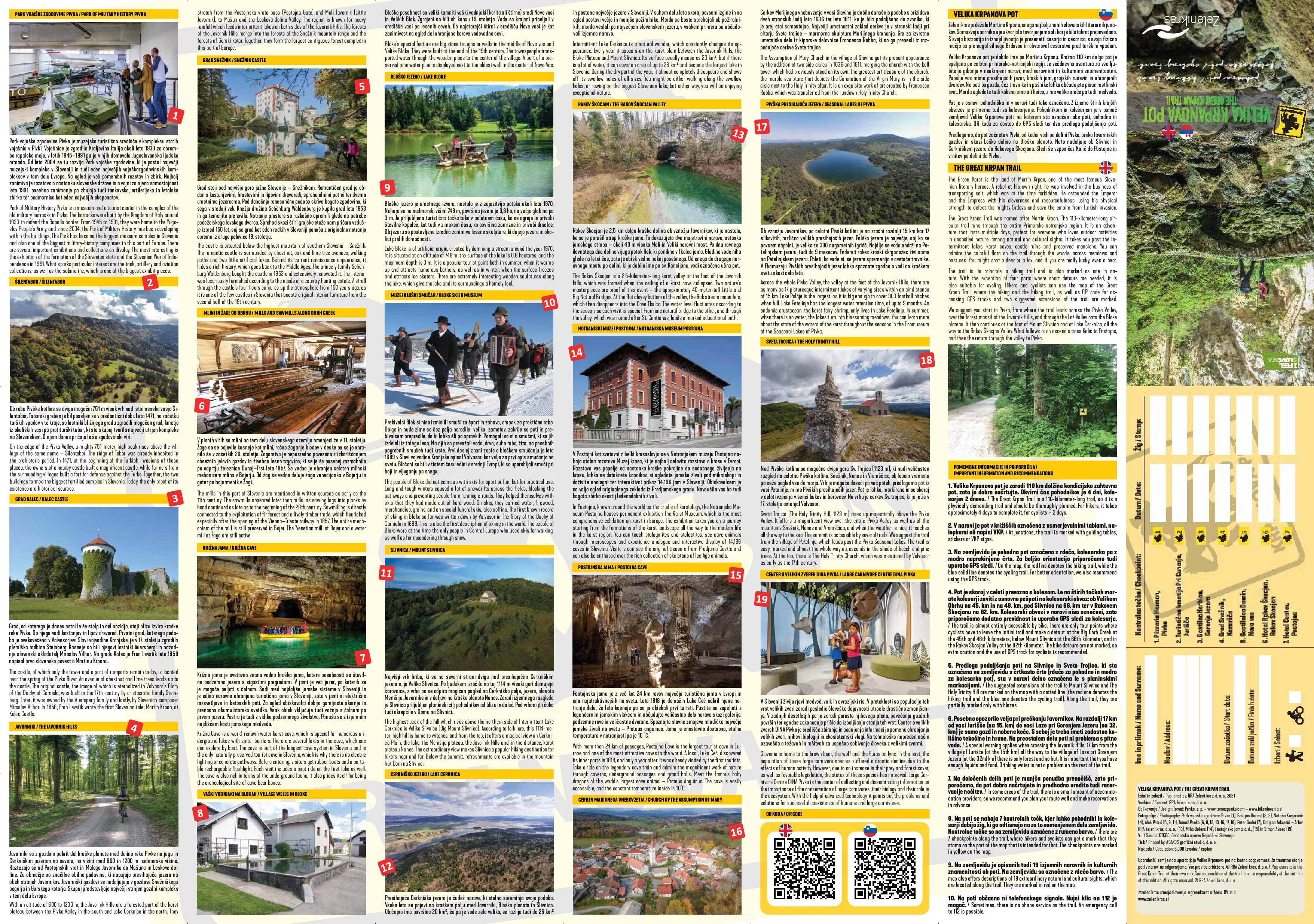
The route was originally created as a hiking trail and is marked as such in the field. With the exception of four short detours, it is also suitable for cycling. A dedicated Great Krpan Trail map is available to help both hikers and cyclists. It shows the hiking and cycling routes, includes QR codes for GPS tracks, and suggests two optional route extensions.
Practical info
• More information about the route can be found on the trail map.
• The best time to explore the route is from April to October.
• Accommodation options are limited on certain sections of the trail, so we recommend planning your journey carefully and booking overnight stays in advance.
• There are seven checkpoint locations along the route where hikers and cyclists can collect stamps.